The Team

Photo of Dr. Taylor M. Oshan

Dr. Taylor M. Oshan

Lead

Taylor is an associate professor in the department of geographical sciences at the University of Maryland. He broadly interested in characterizing spatial patterns and processes through the use of quantitative geographic methods, which typically falls under the banners of spatial analysis and spatial statistics, geographic information science, and spatial data science. Overall, my research his targeted the development of multivariate spatial statistics and how they can be used to capture how relationships change by spatial and temporal contexts. This includes issues of theory, interpretation, scalability, and integration of traditional geographic models with novel "big" datasets, as well as applications in public health, crime, urban mobility, and transportation systems.

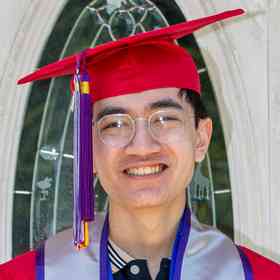
Photo of Mengyu Liao

Mengyu Liao

PhD Candidate

Mengyu's interests include spatiotemporal theories and applications, big data, spatial data science, as well as geospatial modeling with machine learning. As a Ph.D student, she eager to use those above to explore how humans perceive, interact with, and change space/environments. Particularly, she has a strong interest in bridging geospatial modeling with criminology, human mobility and health.

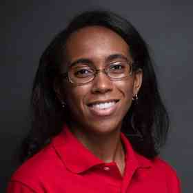
Photo of Victor Irekponor

Victor Irekponor

PhD Student

Victor Irekponor is a first-year Ph.D. student in the Center for Geographical Information Science, University of Maryland, College Park. He is broadly interested at the cutting-edge of research and development in urban informatics, smart cities, and geospatial data science; specifically, the science that investigates the ‘where’ and ‘why’ of various human and natural phenomena in cities. Before coming to Maryland, he studied at the University of Lagos, Nigeria, and graduated with a first-class bachelor’s degree in urban planning. Beyond academics, Victor has over three years of software engineering experience as well as experience building and deploying machine learning models. His major tools include Python, Scikit-learn, Keras, Tensorflow, and React.js. He hopes to deploy his skills in software engineering, data science, and urban planning to conceptualize and contribute significantly to smart cities research.

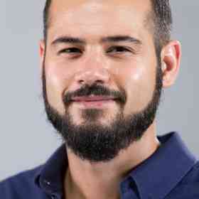
Photo of Seth Docherty

Seth Docherty

Geospatial Developer

Seth Docherty is a geospatial data engineer specializing in visualization and architecture. He earned his B.S. in Meteorology at Kean University and cultivated an interest in geospatial data. He previously developed for environmental organizations and built API integrations for Esri. Seth is interested in applying multilayered architecture solutions to manage large data sets for utility and elegance.

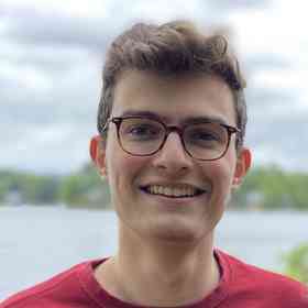
Photo of Matthew Nanas

Matthew Nanas

Developer

Matthew is a undergraduate at the University of Maryland studying computer and information science. He has experience in developing client-side apps in both the Ethereum and Solana ecosystem. As a developer for the EASIER Data Initiative, he aims to explore decentralized storage and compute and how they can be used for data-intensive geospatial workflows.

Photo of Dr. Zheng Liu

Dr. Zheng Liu

Alumni (Google)

Photo of Janna Chapman

Janna Chapman

Alumni (Inner City Fund - ICF)

Photo of Jack Rickey

Jack Rickey

Alumni (Equinor)

Photo of John Solly

John Solly

Alumni (HazardHub)

Photo of Matthew Tralka

Matthew Tralka

Alumni (Planet Labs)

Photo of Tyler Hoffman

Tyler Hoffman

Alumni (UC, Riverside)